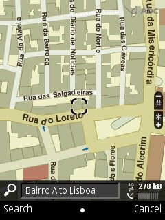
You can back up your phone's Nokia Maps Landmarks (which are shared with Google Maps) with Nokia PC Suite. You can also back 'em up or send them to another phone without having a PC nearby, but Nokia kept the method well hidden.
You can't do it from Nokia Maps itself. Instead, you'll need to open the Landmarks application, select the Landmarks you want to save or send, and then hit "Send" from the Options menu.
You can choose between MMS and bluetooth. If you've configured an email account in the built-in messaging program of your Nokia, you can send them by email too.
Unfortunately you can't simply save your Landmarks as a file. Why, Nokia, why?
The same Landmarks are called Favourites in Google Maps. You can send 'em by MMS, bluetooth or email like you can do with the Landmarks application, but Landmarks lets you select multiple Landmarks and send them all together, whereas Google Maps can only send them one by one.
• Nokia Maps
• Nokia Map Loader alternative
• Google Maps
• Send Google Maps locations to Nokia Maps
• Send Google Earth locations to Nokia Maps

3 comments:
The downloadable maps haven't worked well for me. I have tried Nokia Maps v2.0 wk32 b04 and Nokia Maps v2.0 wk39 b04. I get problems with layers out of sync with the v2.0 map files.
I'm trying to match the files loaded over the internet by the phone (when online) with the map files. For example my phone downloaded a 43kb file named 15f52 when I viewed Halifax, Canada. The NovaScotia map zips have much larger versions of this file (>900K). However the Canada map zip and the North America map zip are missing this file.
I have figured out that the satellite image files downloaded by nokia maps end in _s.cdt.
Hi Ralph,
someone on the Nokia forums wrote this:
>I read that many people have
>problems in 'syncing' the maps
>from different countries after
>using the maploader. So borderline
>roads seem not to be connected.
>They say the could solve this by
>'going-online-once'.
>I had similar problems with BE and
>NL borders but I synced them
>online and those problems are now
>gone. So if you can go online as
>described maybe it could work for
>you.
This issue seems to be a layer sync problem; at some zoom levels what is supposed to be water shows up as land and vice-verse.
Going online only fixes it for the areas viewed (the phone fetches new .cdt files).
A further observation I've made is that the files fetched by the phone while online are much smaller than those in the map zip files. It makes sense that they should be small so they can load quickly on a slow GPRS connection. However it makes comparing the map zips to what the phone fetches very difficult.
I have found a work-around, but it is time consuming. After loading the map files, go online and preview the routes you intend to use. Any missing .cdt files will be downloaded and cached.
Post a Comment